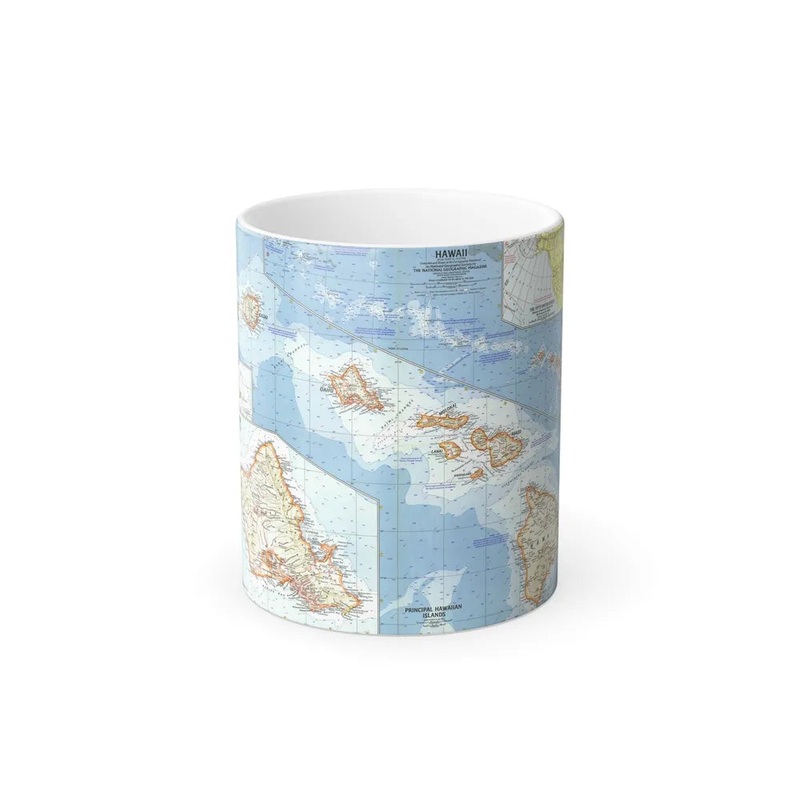
'USA - Hawaii (1960) (Map)' The provided title refers to a historical map of the United States (USA), specifically focusing on the state of Hawaii in the year 1960. This type of map is typically used for geographical, historical, or educational purposes, providing valuable insights into the spatial organization of features such as political boundaries, cities, roads, and physical landmarks at a particular point in time. In this specific case, the map offers a snapshot of Hawaii's geography, topography, and infrastructure in 1960, just before its statehood was officially confirmed on August 21, 1960.
Express delivery and return policies
Free shipping on orders over $30
Processing time: 1-2 Days
Shipping time: 3-5 Days(According to the logistics method and delivery address)
Items can be returned or exchanged within 30 days !